Greenmantle Forest Inc. (GFI) is a small, professional forest management company that formed in 1997 and was granted the Sustainable Forest Licence (SFL) for the Lakehead Forest by the Ontario Ministry of Natural Resources and Forestry (MNRF) in 1998.
GFI has a cooperative structure of 23 small, local, independent harvesting companies, including two local First Nations. Many of these companies have harvested timber for several decades on the former Fort William, Port Arthur and Nipigon Crown management units, under licence from the MNRF.
It is GFI’s responsibility to sustainably manage the Crown forested land on the Lakehead Forest on behalf of the MNRF and public of Ontario.
About the Lakehead Forest
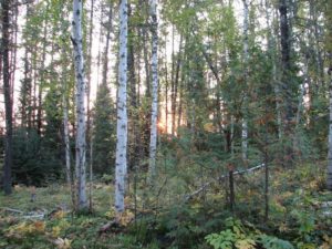
The Lakehead Forest is the Ministry of Natural Resources and Forestry’s (MNRF) administrative forest management unit that surrounds the City of Thunder Bay. As per its namesake, it spans the head of Lake of Superior. The Lakehead Forest covers an area of approximately 7670 square kilometres; of which approximately 4100 square kilometres is Crown forested land managed by Greenmantle Forest Inc. The remaining area is comprised of private land, Indigenous community lands, federal lands, parks, protected areas, and waterbodies.
The Forest encompasses the Crown managed land from the eastern boundary of Quetico Provincial Park to a point just east of the Town of Nipigon. It is bounded on the north side by three other forest management units – the Dog-River Matawin Forest, the Black Spruce Forest and the Lake Nipigon Forest. It is bounded to the south by the International Boundary and Lake Superior. The Lakehead Forest was created by the MNRF in 1998 through the amalgamation of the former Fort William, Port Arthur and Nipigon Crown management units.
The Lakehead Forest lies within the boundaries of the Robinson-Superior Treaty of 1850 (Treaty 60) and the North-West Angle Treaty of 1873 (Treaty 3).
Map of the Lakehead Forest
Below is a map of the Lakehead Forest boundaries. To view a larger version, please click here or on the map.
